Image:FS2018f15.3.jpg
From The Space Library
Size of this preview: 800 × 560 pixels
Full resolution (1,519 × 1,064 pixel, file size: 724 KB, MIME type: image/jpeg)
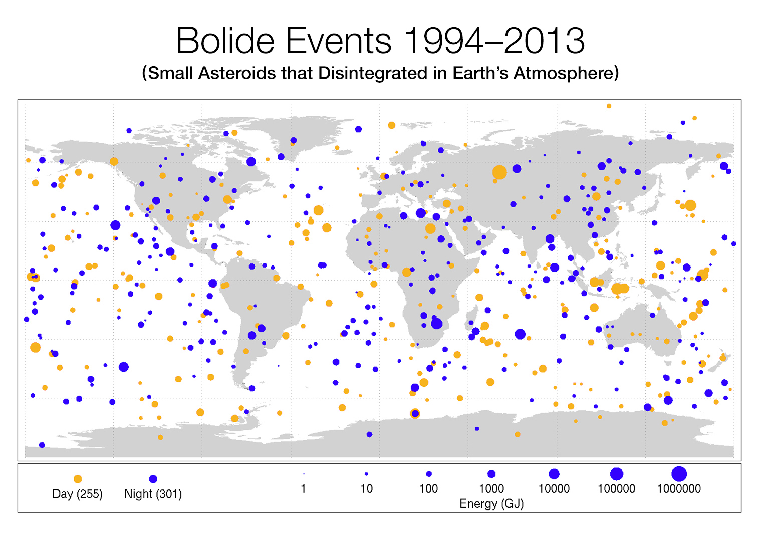
The Farthest Shore (electronic edition) - Representation Map of Global Large Asteroid Strikes between 1994-2013 and Energy Levels in Giga Joules. (Map courtesy of JPL-NASA)
File history
Click on a date/time to view the file as it appeared at that time.
| Date/Time | Dimensions | User | Comment | |
|---|---|---|---|---|
| current | 17:44, 28 May 2018 | 1,519×1,064 (724 KB) | ISU (Talk | contribs) | (The Farthest Shore (electronic edition) - Representation Map of Global Large Asteroid Strikes between 1994-2013 and Energy Levels in Giga Joules. (Map courtesy of JPL-NASA) ) |
- Search for duplicate files
- Edit this file using an external application
See the setup instructions for more information.
Links
The following page links to this file:
Metadata
This file contains additional information, probably added from the digital camera or scanner used to create or digitize it. If the file has been modified from its original state, some details may not fully reflect the modified file.
| Pixel composition | RGB |
|---|---|
| Orientation | Normal |
